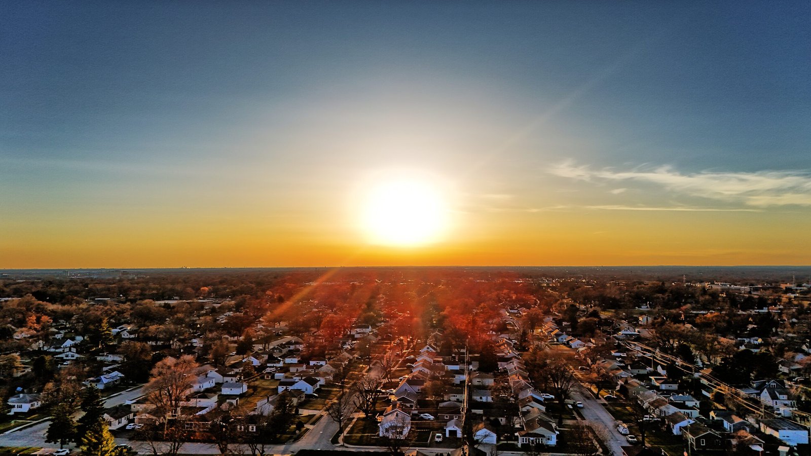
Precision-Mapped Reality

Introducing our cutting-edge Photogrammetry Services, a state-of-the-art solution designed to transform the way industries capture and interpret the world. We are proud to offer a comprehensive suite of photogrammetry solutions, tailored to support professionals across a wide range of sectors including architecture, engineering, construction, and environmental research. Our service harnesses the latest in imaging technology and software advancements to convert photographs into precise 3D models and detailed maps, offering a new dimension of analysis and insight.
Our expertise lies in capturing high-quality images from ground or aerial platforms, meticulously processing these images through sophisticated software to create accurate, high-resolution 3D representations of physical objects and landscapes. This process allows for the extraction of critical data and measurements, essential for planning, design, and decision-making processes. Whether it’s for tower inspections, preserving historical sites, designing buildings, or planning urban environments, our photogrammetry service provides the detailed visual and spatial information you need.


